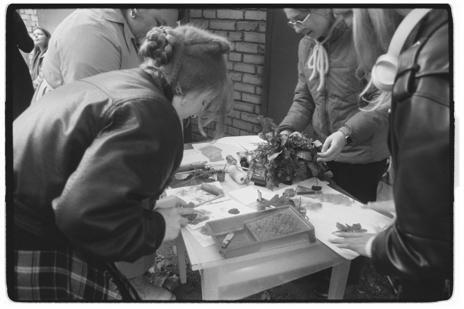
A bioregional mapping workshop is a concentrated, communal effort to define and visualize the bioregion you live in. It is part research, part organizing, part ceremony. Over the course of a day, a weekend, or a multi-week course, a diverse group of people who share a landscape come together to layer what they know about it, ecological, cultural, historical, and personal, and produce a working map of home. The Department of Bioregion facilitates and supports these workshops as one of our core offerings, and helps host organizations run their own.
This page describes the workshop as a format: what it produces, how it is structured, who it is for, and how to engage with the DOB. For the rhetorical case for mapping, see why mapping matters. For the technical layer-by-layer methodology, see how to map a bioregion. For the deeper treatment of indigenous mapping practices and protocols, see indigenous mapping.
What a Workshop Produces
A workshop is not where the mapping ends. It is where it begins. The artifacts a workshop produces are starting documents, designed to be revised, ground-truthed, and built on over years.
- A working draft bioregional map. Paper, digital, or both. The boundary the group has agreed to test. The watershed lines. The hard edges of geology and the soft edges of vegetation, climate, and culture overlaid against each other.
- A stakeholder list. The people, organizations, indigenous nations, watershed councils, agencies, schools, and place-based projects whose work intersects the bioregion. The relationships you will need to build or strengthen.
- A story-list of place-names and significant landscapes. The named places that carry meaning: traditional names where freely shared by the nations who hold them, settler names, ecological landmarks, sites of harm and sites of healing.
- A ground-truth itinerary. The places the group needs to visit in person to verify what the maps show, and to anchor the work in the felt experience of the landscape.
- An ongoing convening practice. A schedule for follow-up gatherings, a shared folder or wiki, a working group, or the early structure of a watershed council. The workshop ends. The work does not.
What a workshop does not produce is a finished product. As Sheila Harrington wrote of the Salish Sea community atlas, the map “should be used as a jumping off place for decision making about the future.” A bioregional map is a living document. It changes and evolves as the community that created it deepens its relationship with the land.
Workshop Formats
There is no single right format. The right format is the one your host group, your participants, and your bioregion can sustain. The DOB supports four common shapes, and combinations of them.
One-day intensive
Six to eight hours, a single room, ten to thirty participants, and a single base watershed map. Best for orienting an existing group, kicking off a longer project, or producing a first-draft boundary discussion. It is enough time to map the hard lines, sketch the soft lines, and identify follow-up needs. It is not enough time to do justice to indigenous partnership, deep cultural layering, or ground-truthing. Treat it as a beginning.
Weekend retreat
Two days with an evening between. The standard format the DOB recommends for most host organizations. A full day for orientation and the physical layers, an evening for storytelling and place-name sharing, a second day for the human and cultural layers and for synthesis. Held on or near the landscape itself wherever possible. Allows time for participants to walk on the land between sessions, for relationships to form, and for the maps to settle in the imagination overnight.
Multi-week course
Six to twelve weeks, meeting weekly or biweekly, with reading and field work between sessions. Modeled on the bioregional planning courses the University of British Columbia School of Community and Regional Planning has offered since 1994, and on the DOB’s own “Exploring Bioregional Mapping” curriculum. Best for educational settings, for groups producing a published atlas, and for cohorts who want to build deep shared literacy before acting. Each session covers a layer or a set of related layers, and the final weeks are dedicated to synthesis and shared output.
Ongoing watershed-council practice
Mapping as a continuous activity inside an existing place-based body: a watershed council, a regional planning group, a bioregional learning center, a Department of Bioregion branch. The map is updated quarterly or annually as new data arrives, new relationships form, and conditions on the land change. This is the format that produced the Salish Sea community atlas, which gathered roughly 3,000 participants across 17 islands over six years before publication in 2005.
Who It Is For
Bioregional mapping workshops are designed for people working at the bioregional scale, and for people who want to begin. No prior cartography or GIS experience is required. The most valuable participants are often those with the deepest landscape knowledge, not the most technical training.
- Place-based organizers building or sustaining a bioregional movement in their area
- Watershed councils, conservation districts, and land trusts
- Indigenous nations, tribal staff, and indigenous-led organizations choosing to engage on their own terms
- Allies invited by indigenous partners to support specific mapping needs
- Regional planners, local government staff, and elected officials
- Educators and students from secondary through graduate programs
- Environmental and community nonprofits
- Regenerative-finance practitioners and place-based investors looking for a coherent unit of analysis
- Farmers, ranchers, fishers, foresters, and others whose livelihoods depend on the land
- Artists, writers, and cultural workers documenting place
- Anyone who wants to know where they live
Workshops are most productive when participants come from across these groups rather than within a single sector. Diversity of knowledge is the greatest asset.
The DOB’s Offering
The Department of Bioregion supports bioregional mapping workshops in two ways: by facilitating workshops directly for host organizations, and by helping host organizations run their own. In either case, the DOB provides the framework, the templates, and the connective tissue to a wider continental network of practitioners.
What we provide
- Facilitation. Trained facilitators experienced in moving a diverse group through the layered mapping process, holding space for difficult conversations about boundaries and territory, and producing a usable artifact by the end of the session.
- Datasets and base maps. Pre-assembled watershed, geology, ecoregion, vegetation, climate, and indigenous-territory layers for the host bioregion, drawn from publicly available sources and from our own research where the public data is thin.
- Sample templates. Workshop agendas, participant invitations, mapping prompts, ground-truthing checklists, and post-workshop synthesis templates that host organizations can adapt rather than build from scratch.
- Peer connections. Introductions to other workshops and bioregional teams in the DOB network, so a host group is not starting alone. Lessons travel.
- Post-workshop integration. Support for translating workshop outputs into a living atlas, a watershed-council plan, a Department of Bioregion branch application, or another durable structure that carries the work forward.
What we ask of host organizations
- A clear convening group of two or more local stewards who will hold the work before, during, and after the workshop.
- A commitment to ground-truthing what the workshop produces, not treating the map as finished.
- A plan for ongoing stewardship, however modest. A single follow-up meeting at the ninety-day mark is enough to begin.
- Indigenous partnership where applicable. The host group is expected to reach out to the indigenous nations whose territory the workshop covers before the workshop, on those nations’ terms, and to be willing to adapt the workshop in response.
- Cost-sharing or sponsorship sufficient to cover facilitator time, materials, and travel where applicable. The DOB works with host organizations of varying capacity, and supported pricing is available for community groups without budget.
Running Your Own Workshop
Many host organizations choose to run their own workshops, with or without DOB facilitation. The following is a brief, practical sequence drawn from the practice tradition that runs from Douglas Aberley’s 1993 manual Boundaries of Home, through Sheila Harrington’s Giving the Land a Voice, through the Salish Sea atlas project, and into our own ongoing work. For the full layer-by-layer methodology, see how to map a bioregion.
- Define the host group. Two or more local stewards who will convene, hold, and follow up. The host group is the spine of the workshop.
- Identify the bioregion’s likely boundaries. A working hypothesis, not a final answer. Begin with the watershed or watersheds you live in. Add the ecoregional context. Recognize that the workshop itself will likely revise the boundary.
- Gather datasets. Watershed maps, geology, soils, vegetation zones, climate records, wildlife and fish range data, indigenous territory references, and any existing community or government planning maps. Free public sources are usually sufficient for a first workshop.
- Invite indigenous nations and long-term residents. Reach out early, on the nations’ terms, and be ready to adapt. Long-term residents, farmers, fishers, and elders carry knowledge that no dataset captures.
- Allocate two days. A weekend retreat is the standard. Build in time on the land, not only at the table.
- Capture outputs. Designate a documenter. Photograph every working map. Keep the stakeholder list and the place-name list in shared digital form. Treat the documentation as a deliverable, not an afterthought.
- Plan the follow-up. Set the next meeting before the workshop ends. Identify who is responsible for what. Decide where the maps and notes will live, and who can access and revise them.
The point is not technical perfection. The point is shared understanding among people who can act on it. As the Tsleil-Waututh Nation Treaty Office wrote of their own atlas process, the community learns about itself in the process of making decisions about its future.
A Beginning, Not an End
The workshop is a beginning. The bioregion you map together becomes the place you can defend, restore, and regenerate together. The first map you produce will be wrong in places, incomplete in others, and contested at its edges. That is not a failure of the workshop. It is the start of the long, layered, collective work of coming to know home, and of organizing ourselves at the scale of the living world rather than the scale of the line on the political map.
Inquire
To explore hosting a bioregional mapping workshop with the DOB, or to ask about facilitator training and templates for running your own, write to projects@deptofbioregion.org. Funded host organizations and groups seeking sponsorship for a workshop are encouraged to look at the fiscal sponsorship program. For general inquiries, see contact.